Kowloon Tong → Kowloon Peak → Ma On Shan summit → Wu Kai Sha
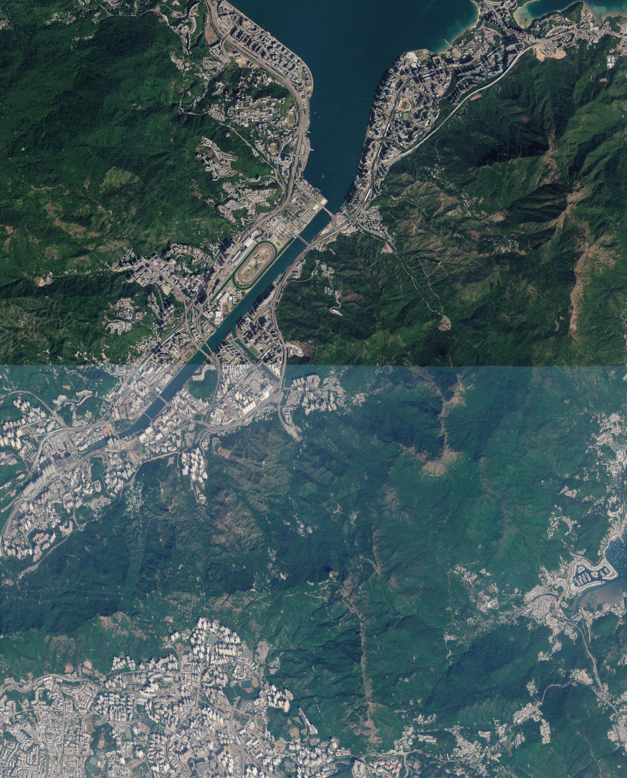
Point-to-point, MTR to MTR, all on foot. Via Jat's Incline, Kowloon Peak Viewing Point, MacLehose Trail Stage 4 (Tate's Pass, Buffalo Pass, Ngong Ping Campsite) and the Ma On Shan summit (702 m). Suicide Cliff is an optional side trip.
3D view
Map
Elevation profile
Legs
Times use Tobler's hiking function (×0.75 on trail for Hong Kong steps and rock, ×1 on paved legs) plus 10 min break per hour. Fit hikers will beat this; groups and hot days will not.
Key points
Plan notes
- Objectives: Kowloon Peak city view, Ngong Ping plateau, Ma On Shan summit (702 m, highest point of the day). Suicide Cliff is off the main line; the yellow marker shows where it is.
- Day start: leave by 08:00 to top Ma On Shan in good light; sunset mid-November is about 17:45.
- Overnight start (22:00): roughly Kowloon Peak Viewing Point ~01:00, Tate's Pass ~01:20, Ngong Ping ~04:45. Rest there and watch sunrise over Sai Kung (~06:35; first light ~06:10), climb the summit rocks in daylight (summit ~08:15), Wu Kai Sha ~10:45. Do not climb the summit in the dark.
- Two-day option: camp at Ngong Ping Campsite, summit at dawn, then descend to Wu Kai Sha.
- Water: carry 3 L. No reliable water between the city edge (km ~5) and the BBQ site.
- Descent: from the Ma On Shan saddle go west down to Ma On Shan Tsuen. The Hunchbacks ridge further west is steep and loose and is not on this route.
- Bailouts: Tate's Pass, via Fei Ngo Shan Rd; Ngong Ping, via the trail to Sai Kung (Tai Shui Tseng); the BBQ site, via the NR84 minibus to Ma On Shan MTR.
- Suicide Cliff (optional): from Kowloon Peak Viewing Point, an out-and-back of +~4.7 km, +~430 m, +2.5-3 h on an unmarked ridge by a drop. Daylight only; backtrack, do not take the roped descent.
Download GPX (track and waypoints) for Organic Maps, Gaia, or AllTrails.
Route on OpenStreetMap paths (BRouter, hiking-mountain profile). Satellite imagery and terrain captured with Aleph (alephgeo): imagery © Google and its providers, terrain AWS Terrain Tiles (SRTM-based, peaks read about 10-20 m low). Map data © OpenStreetMap contributors. Trail notes from hongkonghike.com guides (Kowloon Peak & Suicide Cliff, Ma On Shan & Hunchbacks, Buffalo Hill). Check AFCD / HKO warnings before going.